Where is Chariton County, Missouri?
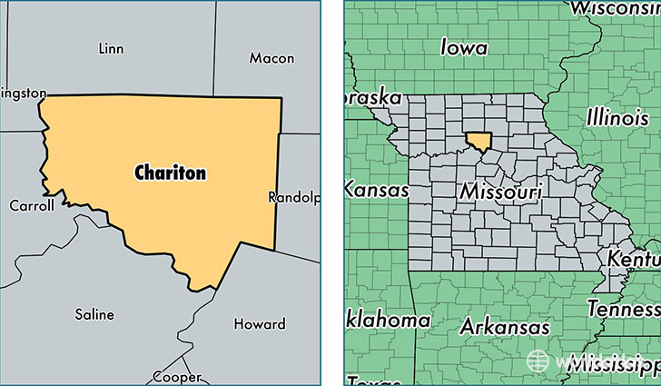
Chariton County is a county equivalent area found in Missouri, USA. The county government of Chariton is found in the county seat of Keytesville.
With a total 1,985.89 sq. km of land and water area, Chariton County, Missouri is the 1245th largest county equivalent area in the United States. Home to 7,694 people, Chariton County has a total 4128 households earning 39385 on average per year.
Chariton County, Missouri - Quick Facts
| FIPS Code | 29041 |
| Area Codes | 660 |
| Time Zone | CST |
| Major Cities | Salisbury (population: 3,025), Brunswick (population: 1,371), Keytesville (population: 1,068), Mendon (population: 501), Rothville (population: 210), Triplett (population: 126), Dalton (population: 98) |
| Land Area | 2,971 sq miles |
| Water Area | 751 sq miles |
| Household Income | $39,385 |
| Housing Units | 4,128 |
| Median Home Value | $74,700 |
| High School Grads | 83% of population |
| Holders of Bachelors Degrees | 12% of population |
| Retail Spending | $6,682 per capita |
| Food & Accomodation Sales | $2,043 per capita |
This page was last updated on June 30, 2016.