Where is Phelps County, Missouri?
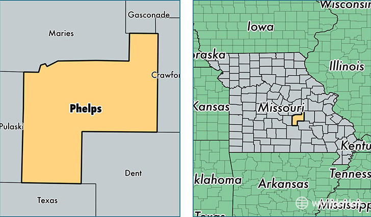
Phelps County is a county equivalent area found in Missouri, USA. The county government of Phelps is found in the county seat of Rolla.
With a total 1,746.49 sq. km of land and water area, Phelps County, Missouri is the 1510th largest county equivalent area in the United States. Home to 44,847 people, Phelps County has a total 19630 households earning 41964 on average per year.
Phelps County, Missouri - Quick Facts
| FIPS Code | 29161 |
| Area Codes | 573 |
| Time Zone | CST |
| Major Cities | Rolla (population: 32,259), Saint James (population: 9,339), Newburg (population: 3,122), Edgar Springs (population: 1,587), Jerome (population: 231), Duke (population: 105), Beulah (population: 90) |
| Land Area | 17,316 sq miles |
| Water Area | 672 sq miles |
| Household Income | $41,964 |
| Housing Units | 19,630 |
| Median Home Value | $111,700 |
| High School Grads | 87% of population |
| Holders of Bachelors Degrees | 27% of population |
| Retail Spending | $14,900 per capita |
| Food & Accomodation Sales | $73,609 per capita |
| Universities and Colleges | Missouri University of Science and Technology |
This page was last updated on June 30, 2016.