Where is Alexander County, Illinois?
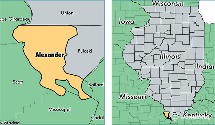
Alexander County is a county equivalent area found in Illinois, USA. The county government of Alexander is found in the county seat of Cairo.
With a total 654.23 sq. km of land and water area, Alexander County, Illinois is the 2946th largest county equivalent area in the United States. Home to 7,492 people, Alexander County has a total 3948 households earning 26972 on average per year.
Alexander County, Illinois - Quick Facts
| FIPS Code | 17003 |
| Area Codes | 618 |
| Time Zone | CST |
| Major Cities | Cairo (population: 2,959), Tamms (population: 1,984), Thebes (population: 1,043), Olive Branch (population: 687), Unity (population: 88), Miller City (population: 77) |
| Land Area | 2,893 sq miles |
| Water Area | 236 sq miles |
| Household Income | $26,972 |
| Housing Units | 3,948 |
| Median Home Value | $54,400 |
| High School Grads | 75% of population |
| Holders of Bachelors Degrees | 8% of population |
| Retail Spending | $2,785 per capita |
This page was last updated on June 30, 2016.