Where is Boone County, Missouri?
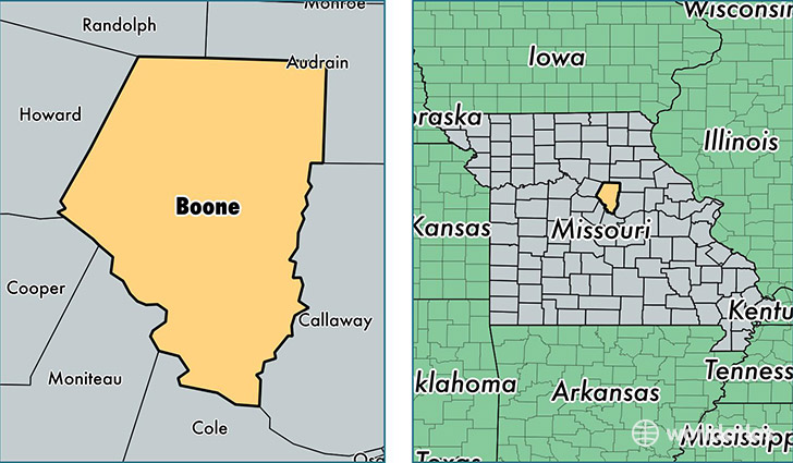
Boone County is a county equivalent area found in Missouri, USA. The county government of Boone is found in the county seat of Columbia.
With a total 1,789.8 sq. km of land and water area, Boone County, Missouri is the 1464th largest county equivalent area in the United States. Home to 172,717 people, Boone County has a total 71890 households earning 48627 on average per year.
Boone County, Missouri - Quick Facts
| FIPS Code | 29019 |
| Area Codes | 573 |
| Time Zone | CST |
| Major Cities | Columbia (population: 144,505), Centralia (population: 7,819), Ashland (population: 5,910), Hallsville (population: 3,866), Sturgeon (population: 2,443), Hartsburg (population: 2,407), Harrisburg (population: 1,842), Rocheport (population: 1,824) |
| Land Area | 66,686 sq miles |
| Water Area | 686 sq miles |
| Household Income | $48,627 |
| Housing Units | 71,890 |
| Median Home Value | $162,200 |
| High School Grads | 93% of population |
| Holders of Bachelors Degrees | 47% of population |
| Retail Spending | $19,777 per capita |
| Food & Accomodation Sales | $315,136 per capita |
| Universities and Colleges | University of Missouri-Columbia, University of Missouri-Systems Office |
This page was last updated on June 30, 2016.