Where is Ralls County, Missouri?
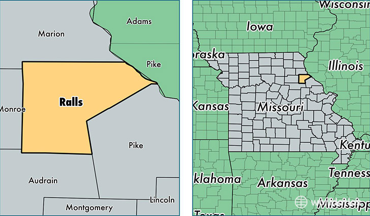
Ralls County is a county equivalent area found in Missouri, USA. The county government of Ralls is found in the county seat of New London.
With a total 1,253.12 sq. km of land and water area, Ralls County, Missouri is the 2232nd largest county equivalent area in the United States. Home to 10,255 people, Ralls County has a total 5115 households earning 47969 on average per year.
Ralls County, Missouri - Quick Facts
| FIPS Code | 29173 |
| Area Codes | 573 |
| Time Zone | CST |
| Major Cities | New London (population: 4,197), Perry (population: 1,468), Center (population: 1,167), Saverton (population: 75) |
| Land Area | 3,959 sq miles |
| Water Area | 470 sq miles |
| Household Income | $47,969 |
| Housing Units | 5,115 |
| Median Home Value | $108,400 |
| High School Grads | 90% of population |
| Holders of Bachelors Degrees | 13% of population |
| Retail Spending | $6,189 per capita |
| Food & Accomodation Sales | $3,626 per capita |
This page was last updated on June 30, 2016.