Where is Kalkaska County, Michigan?
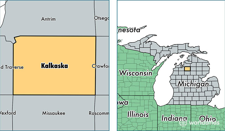
Kalkaska County is a county equivalent area found in Michigan, USA. The county government of Kalkaska is found in the county seat of Kalkaska.
With a total 1,478.12 sq. km of land and water area, Kalkaska County, Michigan is the 1926th largest county equivalent area in the United States. Home to 17,394 people, Kalkaska County has a total 12056 households earning 40140 on average per year.
Kalkaska County, Michigan - Quick Facts
| FIPS Code | 26079 |
| Area Codes | 231 |
| Time Zone | EST |
| Major Cities | Kalkaska (population: 8,203), Fife Lake (population: 3,723), Rapid City (population: 3,391), South Boardman (population: 1,910) |
| Land Area | 6,716 sq miles |
| Water Area | 560 sq miles |
| Household Income | $40,140 |
| Housing Units | 12,056 |
| Median Home Value | $98,800 |
| High School Grads | 86% of population |
| Holders of Bachelors Degrees | 12% of population |
| Retail Spending | $8,400 per capita |
| Food & Accomodation Sales | $13,744 per capita |
This page was last updated on June 30, 2016.