Where is Ogemaw County, Michigan?
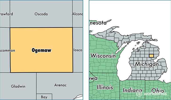
Ogemaw County is a county equivalent area found in Michigan, USA. The county government of Ogemaw is found in the county seat of West Branch.
With a total 1,489.12 sq. km of land and water area, Ogemaw County, Michigan is the 1882nd largest county equivalent area in the United States. Home to 21,039 people, Ogemaw County has a total 15961 households earning 34619 on average per year.
Ogemaw County, Michigan - Quick Facts
| FIPS Code | 26129 |
| Area Codes | 989 |
| Time Zone | EST |
| Major Cities | West Branch (population: 10,561), Prescott (population: 4,583), Rose City (population: 2,492), Lupton (population: 1,554) |
| Land Area | 8,123 sq miles |
| Water Area | 563 sq miles |
| Household Income | $34,619 |
| Housing Units | 15,961 |
| Median Home Value | $89,500 |
| High School Grads | 85% of population |
| Holders of Bachelors Degrees | 11% of population |
| Retail Spending | $17,118 per capita |
| Food & Accomodation Sales | $31,109 per capita |
This page was last updated on June 30, 2016.