Where is Oscoda County, Michigan?
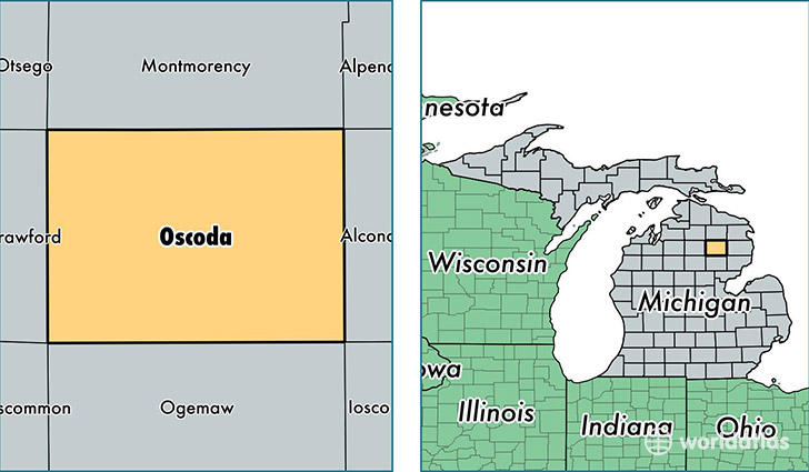
Oscoda County is a county equivalent area found in Michigan, USA. The county government of Oscoda is found in the county seat of Mio.
With a total 1,480.39 sq. km of land and water area, Oscoda County, Michigan is the 1915th largest county equivalent area in the United States. Home to 8,371 people, Oscoda County has a total 9063 households earning 33239 on average per year.
Oscoda County, Michigan - Quick Facts
| FIPS Code | 26135 |
| Area Codes | 989 |
| Time Zone | EST |
| Major Cities | Mio (population: 4,395), Fairview (population: 1,351), Luzerne (population: 859), Comins (population: 461) |
| Land Area | 3,232 sq miles |
| Water Area | 566 sq miles |
| Household Income | $33,239 |
| Housing Units | 9,063 |
| Median Home Value | $83,000 |
| High School Grads | 83% of population |
| Holders of Bachelors Degrees | 10% of population |
| Retail Spending | $6,379 per capita |
| Food & Accomodation Sales | $9,005 per capita |
This page was last updated on June 30, 2016.