Where is Manistee County, Michigan?
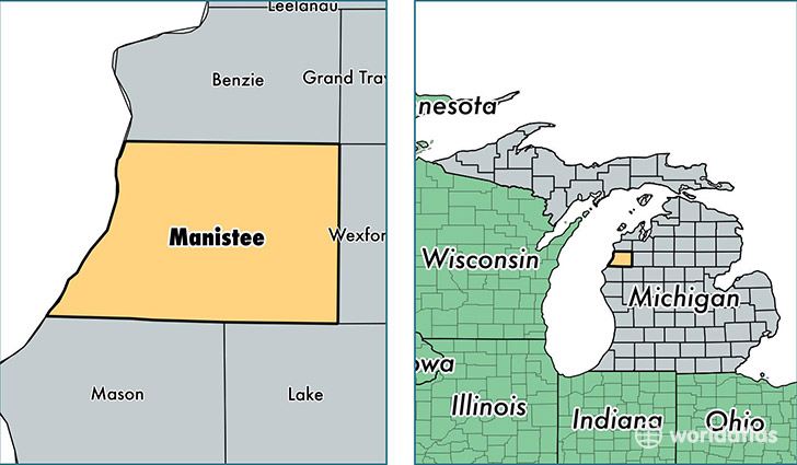
Manistee County is a county equivalent area found in Michigan, USA. The county government of Manistee is found in the county seat of Manistee.
With a total 3,316.65 sq. km of land and water area, Manistee County, Michigan is the 538th largest county equivalent area in the United States. Home to 24,420 people, Manistee County has a total 15577 households earning 41551 on average per year.
Manistee County, Michigan - Quick Facts
| FIPS Code | 26101 |
| Area Codes | 231 |
| Time Zone | EST |
| Major Cities | Manistee (population: 14,032), Bear Lake (population: 2,783), Kaleva (population: 1,627), Wellston (population: 1,555), Copemish (population: 1,375), Brethren (population: 1,107), Onekama (population: 1,027), Arcadia (population: 678), Eastlake (population: 419), Filer City (population: 115) |
| Land Area | 9,429 sq miles |
| Water Area | 542 sq miles |
| Household Income | $41,551 |
| Housing Units | 15,577 |
| Median Home Value | $109,900 |
| High School Grads | 89% of population |
| Holders of Bachelors Degrees | 19% of population |
| Retail Spending | $9,096 per capita |
| Food & Accomodation Sales | $26,791 per capita |
This page was last updated on June 30, 2016.