Ottawa County, MI, USA
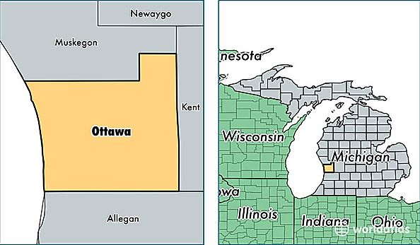
Ottawa County is a county equivalent area found in Michigan, USA. The county government of Ottawa is found in the county seat of Grand Haven.
With a total 4,225.33 sq. km of land and water area, Ottawa County, Michigan is the 412th largest county equivalent area in the United States. Home to 276,292 people, Ottawa County has a total 103417 households earning 56453 on average per year.
Ottawa County, Michigan - Quick Facts
| FIPS Code | 26139 |
| Area Codes | 616 |
| Time Zone | EST |
| Major Cities | Holland (population: 91,314), Hudsonville (population: 33,911), Grand Haven (population: 29,769), Zeeland (population: 28,027), Jenison (population: 25,930), Allendale (population: 21,151), Spring Lake (population: 18,919), Coopersville (population: 8,430), West Olive (population: 8,289), Marne (population: 3,620) |
| Land Area | 106,677 sq miles |
| Water Area | 564 sq miles |
| Household Income | $56,453 |
| Housing Units | 103,417 |
| Median Home Value | $153,200 |
| High School Grads | 91% of population |
| Holders of Bachelors Degrees | 30% of population |
| Retail Spending | $9,149 per capita |
| Food & Accomodation Sales | $277,197 per capita |