Where is Hillsdale County, Michigan?
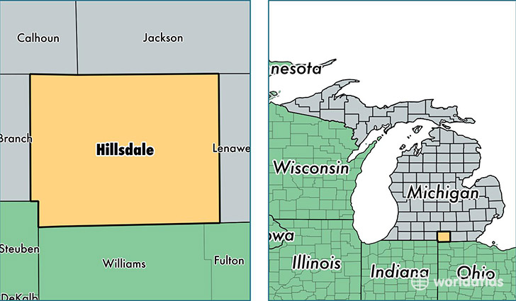
Hillsdale County is a county equivalent area found in Michigan, USA. The county government of Hillsdale is found in the county seat of Hillsdale.
With a total 1,572.14 sq. km of land and water area, Hillsdale County, Michigan is the 1718th largest county equivalent area in the United States. Home to 45,830 people, Hillsdale County has a total 21570 households earning 41759 on average per year.
Hillsdale County, Michigan - Quick Facts
| FIPS Code | 26059 |
| Area Codes | 517 |
| Time Zone | EST |
| Major Cities | Hillsdale (population: 15,098), Jonesville (population: 6,122), Reading (population: 3,626), Jerome (population: 3,378), Osseo (population: 2,913), Camden (population: 2,773), Litchfield (population: 2,579), Pittsford (population: 2,233), Waldron (population: 1,370), Allen (population: 1,271) |
| Land Area | 17,695 sq miles |
| Water Area | 598 sq miles |
| Household Income | $41,759 |
| Housing Units | 21,570 |
| Median Home Value | $103,700 |
| High School Grads | 87% of population |
| Holders of Bachelors Degrees | 15% of population |
| Retail Spending | $6,964 per capita |
| Food & Accomodation Sales | $31,369 per capita |
This page was last updated on June 30, 2016.