Where is Jackson County, Michigan?
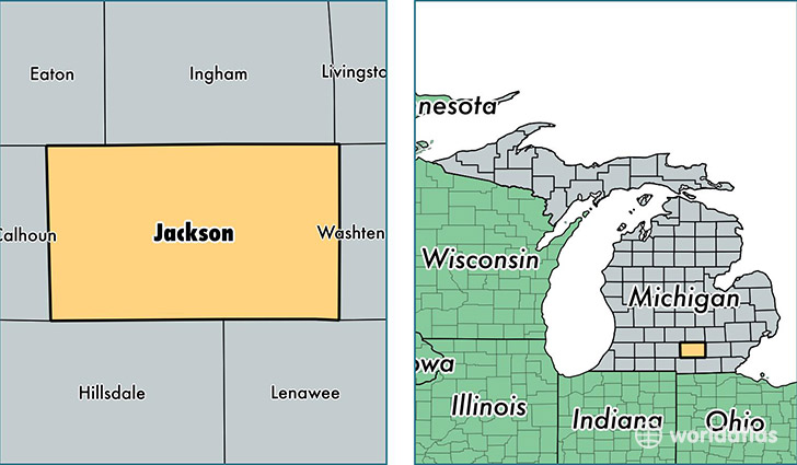
Jackson County is a county equivalent area found in Michigan, USA. The county government of Jackson is found in the county seat of Jackson.
With a total 1,873.85 sq. km of land and water area, Jackson County, Michigan is the 1347th largest county equivalent area in the United States. Home to 159,741 people, Jackson County has a total 68852 households earning 46615 on average per year.
Jackson County, Michigan - Quick Facts
| FIPS Code | 26075 |
| Area Codes | 517 |
| Time Zone | EST |
| Major Cities | Jackson (population: 104,169), Brooklyn (population: 10,457), Grass Lake (population: 8,720), Parma (population: 6,000), Spring Arbor (population: 4,363), Rives Junction (population: 3,669), Michigan Center (population: 3,322), Horton (population: 3,255), Springport (population: 3,023), Concord (population: 2,981) |
| Land Area | 61,676 sq miles |
| Water Area | 702 sq miles |
| Household Income | $46,615 |
| Housing Units | 68,852 |
| Median Home Value | $112,800 |
| High School Grads | 89% of population |
| Holders of Bachelors Degrees | 19% of population |
| Retail Spending | $10,393 per capita |
| Food & Accomodation Sales | $185,386 per capita |
This page was last updated on June 30, 2016.