Where is Lenawee County, Michigan?
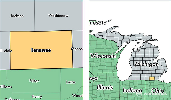
Lenawee County is a county equivalent area found in Michigan, USA. The county government of Lenawee is found in the county seat of Adrian.
With a total 1,972.04 sq. km of land and water area, Lenawee County, Michigan is the 1261st largest county equivalent area in the United States. Home to 99,047 people, Lenawee County has a total 43293 households earning 47766 on average per year.
Lenawee County, Michigan - Quick Facts
| FIPS Code | 26091 |
| Area Codes | 517 |
| Time Zone | EST |
| Major Cities | Adrian (population: 40,935), Tecumseh (population: 14,662), Hudson (population: 5,714), Blissfield (population: 5,494), Onsted (population: 4,913), Clinton (population: 4,811), Morenci (population: 3,852), Britton (population: 3,215), Manitou Beach (population: 3,137), Cement City (population: 2,623) |
| Land Area | 38,242 sq miles |
| Water Area | 749 sq miles |
| Household Income | $47,766 |
| Housing Units | 43,293 |
| Median Home Value | $116,900 |
| High School Grads | 89% of population |
| Holders of Bachelors Degrees | 19% of population |
| Retail Spending | $9,336 per capita |
| Food & Accomodation Sales | $94,196 per capita |
This page was last updated on June 30, 2016.