Where is Ingham County, Michigan?
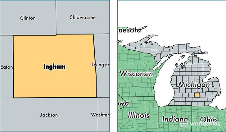
Ingham County is a county equivalent area found in Michigan, USA. The county government of Ingham is found in the county seat of Mason.
With a total 1,452.24 sq. km of land and water area, Ingham County, Michigan is the 1972nd largest county equivalent area in the United States. Home to 284,582 people, Ingham County has a total 121249 households earning 45321 on average per year.
Ingham County, Michigan - Quick Facts
| FIPS Code | 26065 |
| Area Codes | 517 |
| Time Zone | EST |
| Major Cities | Lansing (population: 130,504), East Lansing (population: 77,055), Holt (population: 20,492), Okemos (population: 20,207), Mason (population: 18,652), Haslett (population: 12,528), Williamston (population: 11,221), Leslie (population: 6,246), Stockbridge (population: 5,739), Webberville (population: 4,400) |
| Land Area | 109,878 sq miles |
| Water Area | 556 sq miles |
| Household Income | $45,321 |
| Housing Units | 121,249 |
| Median Home Value | $120,500 |
| High School Grads | 91% of population |
| Holders of Bachelors Degrees | 37% of population |
| Retail Spending | $11,328 per capita |
| Food & Accomodation Sales | $446,061 per capita |
| Universities and Colleges | Michigan State University College of Law, Michigan State University |
This page was last updated on June 30, 2016.