Where is Eaton County, Michigan?
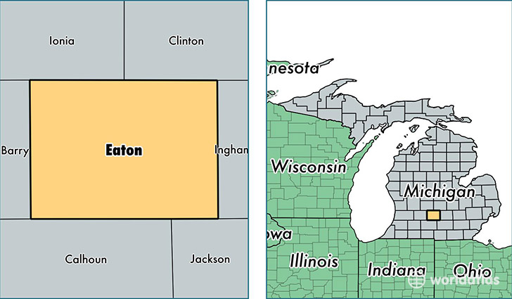
Eaton County is a county equivalent area found in Michigan, USA. The county government of Eaton is found in the county seat of Charlotte.
With a total 1,500.72 sq. km of land and water area, Eaton County, Michigan is the 1838th largest county equivalent area in the United States. Home to 108,579 people, Eaton County has a total 46923 households earning 54115 on average per year.
Eaton County, Michigan - Quick Facts
| FIPS Code | 26045 |
| Area Codes | 517,269 |
| Time Zone | EST |
| Major Cities | Lansing (population: 32,139), Charlotte (population: 21,230), Grand Ledge (population: 18,981), Eaton Rapids (population: 16,009), Bellevue (population: 6,177), Dimondale (population: 5,849), Olivet (population: 4,588), Potterville (population: 4,023), Vermontville (population: 3,323), Sunfield (population: 2,155) |
| Land Area | 41,923 sq miles |
| Water Area | 575 sq miles |
| Household Income | $54,115 |
| Housing Units | 46,923 |
| Median Home Value | $138,300 |
| High School Grads | 93% of population |
| Holders of Bachelors Degrees | 25% of population |
| Retail Spending | $12,383 per capita |
| Food & Accomodation Sales | $155,322 per capita |
This page was last updated on June 30, 2016.