Where is Hartford County, Connecticut?
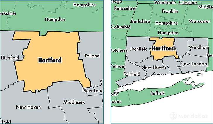
Hartford County is a county equivalent area found in Connecticut, USA.
With a total 1,944.08 sq. km of land and water area, Hartford County, Connecticut is the 1280th largest county equivalent area in the United States. Home to 897,985 people, Hartford County has a total 373608 households earning 64967 on average per year.
Hartford County, Connecticut offers the following attractions to visitors: Wadsworth Atheneum, Cheney Brothers Historic District Manchester, New England NST
Hartford County, Connecticut - Quick Facts
| FIPS Code | 9003 |
| Area Codes | 860 |
| Time Zone | EST |
| Major Cities | Hartford (population: 124,366), New Britain (population: 73,504), West Hartford (population: 64,408), Bristol (population: 60,667), Manchester (population: 58,459), East Hartford (population: 51,448), Enfield (population: 44,816), Southington (population: 32,183), Newington (population: 30,672), Windsor (population: 29,184) |
| Land Area | 346,714 sq miles |
| Water Area | 735 sq miles |
| Household Income | $64,967 |
| Housing Units | 373,608 |
| Median Home Value | $241,500 |
| High School Grads | 88% of population |
| Holders of Bachelors Degrees | 35% of population |
| Retail Spending | $15,811 per capita |
| Food & Accomodation Sales | $1,637,963 per capita |
| Universities and Colleges | Manchester Community College |
This page was last updated on June 30, 2016.