Where is Tolland County, Connecticut?
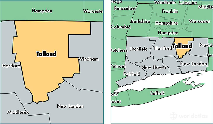
Tolland County is a county equivalent area found in Connecticut, USA.
With a total 1,080.15 sq. km of land and water area, Tolland County, Connecticut is the 2505th largest county equivalent area in the United States. Home to 151,367 people, Tolland County has a total 58339 households earning 80529 on average per year.
Tolland County, Connecticut - Quick Facts
| FIPS Code | 9013 |
| Area Codes | 860 |
| Time Zone | EST |
| Major Cities | Vernon Rockville (population: 28,998), Storrs Mansfield (population: 21,163), Ellington (population: 15,429), Tolland (population: 14,953), Stafford Springs (population: 12,563), Coventry (population: 12,334), Somers (population: 11,557), Willington (population: 5,995), Hebron (population: 5,560), Columbia (population: 5,450) |
| Land Area | 58,443 sq miles |
| Water Area | 410 sq miles |
| Household Income | $80,529 |
| Housing Units | 58,339 |
| Median Home Value | $254,800 |
| High School Grads | 93% of population |
| Holders of Bachelors Degrees | 37% of population |
| Retail Spending | $8,140 per capita |
| Food & Accomodation Sales | $173,091 per capita |
| Universities and Colleges | University of Connecticut |
This page was last updated on June 30, 2016.