Cheshire County, NH, USA
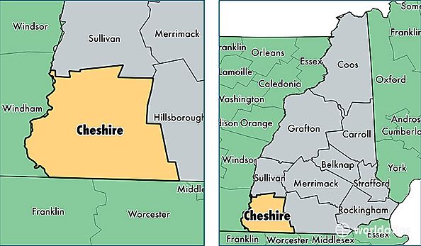
Cheshire County is a county equivalent area found in New Hampshire, USA. The county government of Cheshire is found in the county seat of Keene.
With a total 1,888.36 sq. km of land and water area, Cheshire County, New Hampshire is the 1327th largest county equivalent area in the United States. Home to 76,115 people, Cheshire County has a total 34681 households earning 55155 on average per year.
Cheshire County, New Hampshire - Quick Facts
| FIPS Code | 33005 |
| Area Codes | 603 |
| Time Zone | EST |
| Major Cities | Keene (population: 25,192), Swanzey (population: 6,263), Rindge (population: 5,993), Jaffrey (population: 5,438), Winchester (population: 5,015), Hinsdale (population: 4,062), Walpole (population: 2,801), Alstead (population: 2,636), Fitzwilliam (population: 2,413), Troy (population: 2,148) |
| Land Area | 29,388 sq miles |
| Water Area | 707 sq miles |
| Household Income | $55,155 |
| Housing Units | 34,681 |
| Median Home Value | $195,400 |
| High School Grads | 91% of population |
| Holders of Bachelors Degrees | 30% of population |
| Retail Spending | $21,293 per capita |
| Food & Accomodation Sales | $110,289 per capita |