Where is Muhlenberg County, Kentucky?
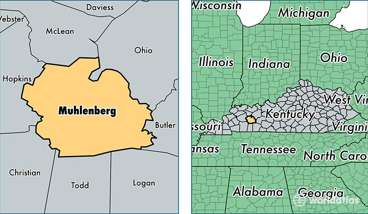
Muhlenberg County is a county equivalent area found in Kentucky, USA. The county government of Muhlenberg is found in the county seat of Greenville.
With a total 1,241.64 sq. km of land and water area, Muhlenberg County, Kentucky is the 2248th largest county equivalent area in the United States. Home to 31,207 people, Muhlenberg County has a total 13585 households earning 38105 on average per year.
Muhlenberg County, Kentucky - Quick Facts
| FIPS Code | 21177 |
| Area Codes | 270 |
| Time Zone | CST |
| Major Cities | Greenville (population: 11,628), Central City (population: 9,291), Bremen (population: 2,007), Drakesboro (population: 2,005), Belton (population: 1,263), Graham (population: 847), Dunmor (population: 793), Beechmont (population: 784), Powderly (population: 660), Browder (population: 455) |
| Land Area | 12,049 sq miles |
| Water Area | 467 sq miles |
| Household Income | $38,105 |
| Housing Units | 13,585 |
| Median Home Value | $79,500 |
| High School Grads | 78% of population |
| Holders of Bachelors Degrees | 11% of population |
| Retail Spending | $8,444 per capita |
| Food & Accomodation Sales | $27,189 per capita |
This page was last updated on June 30, 2016.