Where is Hopkins County, Kentucky?
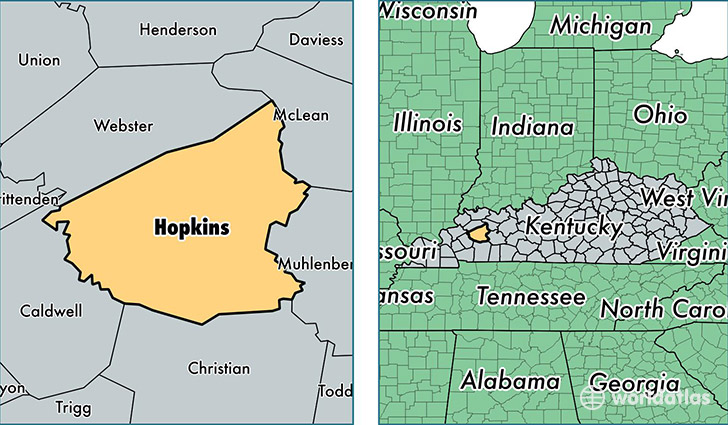
Hopkins County is a county equivalent area found in Kentucky, USA. The county government of Hopkins is found in the county seat of Madisonville.
With a total 1,435.93 sq. km of land and water area, Hopkins County, Kentucky is the 1994th largest county equivalent area in the United States. Home to 46,376 people, Hopkins County has a total 21139 households earning 40891 on average per year.
Hopkins County, Kentucky - Quick Facts
| FIPS Code | 21107 |
| Area Codes | 270 |
| Time Zone | CST |
| Major Cities | Madisonville (population: 26,800), Dawson Springs (population: 6,716), Nortonville (population: 3,490), Hanson (population: 3,104), White Plains (population: 1,792), Nebo (population: 1,587), Earlington (population: 1,453), Manitou (population: 1,025), Mortons Gap (population: 744), Saint Charles (population: 530) |
| Land Area | 17,906 sq miles |
| Water Area | 542 sq miles |
| Household Income | $40,891 |
| Housing Units | 21,139 |
| Median Home Value | $83,300 |
| High School Grads | 83% of population |
| Holders of Bachelors Degrees | 14% of population |
| Retail Spending | $12,118 per capita |
| Food & Accomodation Sales | $53,708 per capita |
| Universities and Colleges | Madisonville Community College, Heads West Kentucky Beauty College |
This page was last updated on June 30, 2016.