Where is McLean County, Kentucky?
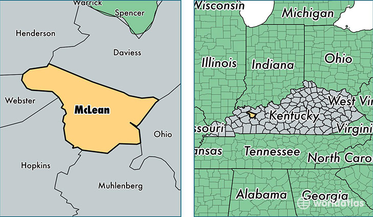
McLean County is a county equivalent area found in Kentucky, USA. The county government of McLean is found in the county seat of Calhoun.
With a total 663.64 sq. km of land and water area, McLean County, Kentucky is the 2936th largest county equivalent area in the United States. Home to 9,478 people, McLean County has a total 4225 households earning 38833 on average per year.
McLean County, Kentucky - Quick Facts
| FIPS Code | 21149 |
| Area Codes | 270 |
| Time Zone | CST |
| Major Cities | Calhoun (population: 4,026), Livermore (population: 2,055), Sacramento (population: 1,845), Island (population: 1,429), Rumsey (population: 474), Beech Grove (population: 46) |
| Land Area | 3,659 sq miles |
| Water Area | 253 sq miles |
| Household Income | $38,833 |
| Housing Units | 4,225 |
| Median Home Value | $79,000 |
| High School Grads | 80% of population |
| Holders of Bachelors Degrees | 10% of population |
| Retail Spending | $4,949 per capita |
| Food & Accomodation Sales | $3,067 per capita |
This page was last updated on June 30, 2016.