Where is Carter County, Kentucky?
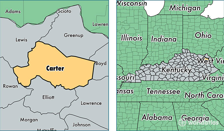
Carter County is a county equivalent area found in Kentucky, USA. The county government of Carter is found in the county seat of Grayson.
With a total 1,067.39 sq. km of land and water area, Carter County, Kentucky is the 2531st largest county equivalent area in the United States. Home to 27,223 people, Carter County has a total 12193 households earning 36406 on average per year.
Carter County, Kentucky - Quick Facts
| FIPS Code | 21043 |
| Area Codes | 606 |
| Time Zone | EST |
| Major Cities | Grayson (population: 14,342), Olive Hill (population: 12,956), Denton (population: 419), Hitchins (population: 406), Grahn (population: 89) |
| Land Area | 10,511 sq miles |
| Water Area | 410 sq miles |
| Household Income | $36,406 |
| Housing Units | 12,193 |
| Median Home Value | $74,500 |
| High School Grads | 76% of population |
| Holders of Bachelors Degrees | 10% of population |
| Retail Spending | $9,831 per capita |
| Food & Accomodation Sales | $24,362 per capita |
This page was last updated on June 30, 2016.