Where is Rowan County, Kentucky?
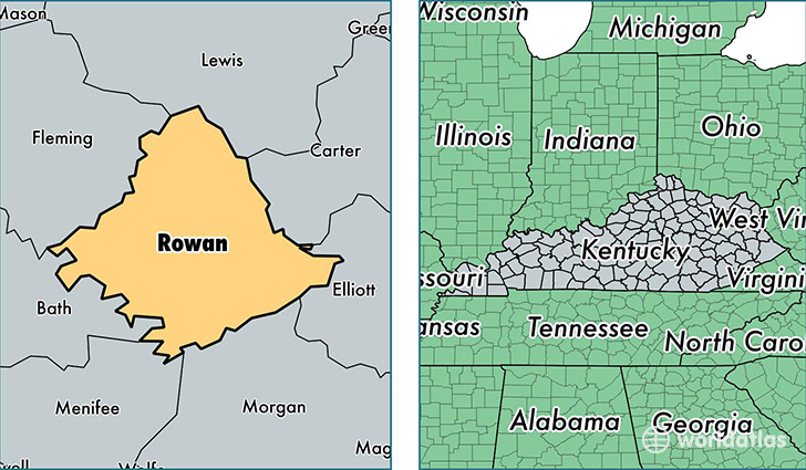
Rowan County is a county equivalent area found in Kentucky, USA. The county government of Rowan is found in the county seat of Morehead.
With a total 741.43 sq. km of land and water area, Rowan County, Kentucky is the 2870th largest county equivalent area in the United States. Home to 23,655 people, Rowan County has a total 10030 households earning 35236 on average per year.
Rowan County, Kentucky - Quick Facts
| FIPS Code | 21205 |
| Area Codes | 606 |
| Time Zone | EST |
| Major Cities | Morehead (population: 20,426), Clearfield (population: 3,158) |
| Land Area | 9,133 sq miles |
| Water Area | 280 sq miles |
| Household Income | $35,236 |
| Housing Units | 10,030 |
| Median Home Value | $96,700 |
| High School Grads | 77% of population |
| Holders of Bachelors Degrees | 24% of population |
| Retail Spending | $12,039 per capita |
| Food & Accomodation Sales | $36,058 per capita |
| Universities and Colleges | Morehead State University |
This page was last updated on June 30, 2016.