Where is Elliott County, Kentucky?
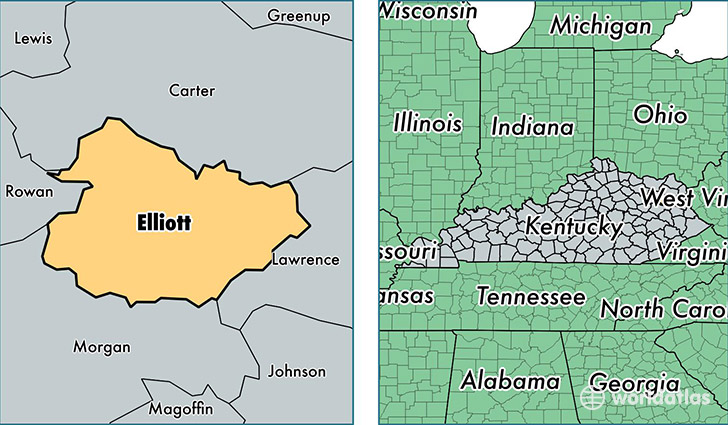
Elliott County is a county equivalent area found in Kentucky, USA. The county government of Elliott is found in the county seat of Sandy Hook.
With a total 609.48 sq. km of land and water area, Elliott County, Kentucky is the 2970th largest county equivalent area in the United States. Home to 7,672 people, Elliott County has a total 3334 households earning 24246 on average per year.
Elliott County, Kentucky - Quick Facts
| FIPS Code | 21063 |
| Area Codes | 606 |
| Time Zone | EST |
| Major Cities | Sandy Hook (population: 4,995), Isonville (population: 726) |
| Land Area | 2,962 sq miles |
| Water Area | 234 sq miles |
| Household Income | $24,246 |
| Housing Units | 3,334 |
| Median Home Value | $71,400 |
| High School Grads | 70% of population |
| Holders of Bachelors Degrees | 8% of population |
| Retail Spending | $1,489 per capita |
| Food & Accomodation Sales | $3,224 per capita |
This page was last updated on June 30, 2016.