Where is Greenup County, Kentucky?
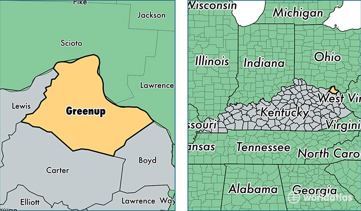
Greenup County is a county equivalent area found in Kentucky, USA. The county government of Greenup is found in the county seat of Greenup.
With a total 918.01 sq. km of land and water area, Greenup County, Kentucky is the 2723rd largest county equivalent area in the United States. Home to 36,308 people, Greenup County has a total 16224 households earning 44060 on average per year.
Greenup County, Kentucky - Quick Facts
| FIPS Code | 21089 |
| Area Codes | 606 |
| Time Zone | EST |
| Major Cities | Greenup (population: 10,222), Flatwoods (population: 8,225), South Shore (population: 5,560), Russell (population: 5,324), Argillite (population: 1,841), Worthington (population: 1,609), South Portsmouth (population: 1,116) |
| Land Area | 14,019 sq miles |
| Water Area | 344 sq miles |
| Household Income | $44,060 |
| Housing Units | 16,224 |
| Median Home Value | $92,000 |
| High School Grads | 83% of population |
| Holders of Bachelors Degrees | 16% of population |
| Retail Spending | $9,483 per capita |
| Food & Accomodation Sales | $21,048 per capita |
This page was last updated on June 30, 2016.