Where is Lewis County, Kentucky?
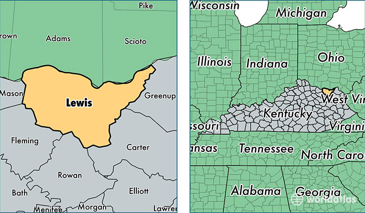
Lewis County is a county equivalent area found in Kentucky, USA. The county government of Lewis is found in the county seat of Vanceburg.
With a total 1,283.08 sq. km of land and water area, Lewis County, Kentucky is the 2199th largest county equivalent area in the United States. Home to 13,880 people, Lewis County has a total 6426 households earning 28388 on average per year.
Lewis County, Kentucky - Quick Facts
| FIPS Code | 21135 |
| Area Codes | 606 |
| Time Zone | EST |
| Major Cities | Vanceburg (population: 7,832), Garrison (population: 2,453), Tollesboro (population: 2,258), Quincy (population: 916), Emerson (population: 171) |
| Land Area | 5,359 sq miles |
| Water Area | 483 sq miles |
| Household Income | $28,388 |
| Housing Units | 6,426 |
| Median Home Value | $59,900 |
| High School Grads | 74% of population |
| Holders of Bachelors Degrees | 11% of population |
| Retail Spending | $4,074 per capita |
| Food & Accomodation Sales | $3,942 per capita |
This page was last updated on June 30, 2016.