Where is Warren County, Kentucky?
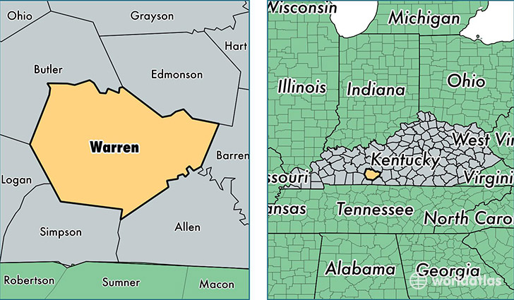
Warren County is a county equivalent area found in Kentucky, USA. The county government of Warren is found in the county seat of Bowling Green.
With a total 1,418.19 sq. km of land and water area, Warren County, Kentucky is the 2012th largest county equivalent area in the United States. Home to 120,460 people, Warren County has a total 49182 households earning 44135 on average per year.
Warren County, Kentucky - Quick Facts
| FIPS Code | 21227 |
| Area Codes | 270 |
| Time Zone | CST |
| Major Cities | Bowling Green (population: 107,264), Smiths Grove (population: 6,923), Alvaton (population: 4,493), Rockfield (population: 2,433), Woodburn (population: 1,435), Oakland (population: 1,229) |
| Land Area | 46,510 sq miles |
| Water Area | 542 sq miles |
| Household Income | $44,135 |
| Housing Units | 49,182 |
| Median Home Value | $140,700 |
| High School Grads | 87% of population |
| Holders of Bachelors Degrees | 28% of population |
| Retail Spending | $16,186 per capita |
| Food & Accomodation Sales | $231,205 per capita |
| Universities and Colleges | Bowling Green Technical College, Western Kentucky University, PJ's College of Cosmetology, Draughons Junior College |
This page was last updated on June 30, 2016.