Where is Bell County, Kentucky?
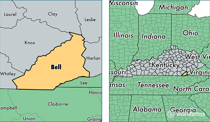
Bell County is a county equivalent area found in Kentucky, USA. The county government of Bell is found in the county seat of Pineville.
With a total 935.29 sq. km of land and water area, Bell County, Kentucky is the 2711th largest county equivalent area in the United States. Home to 27,778 people, Bell County has a total 13026 households earning 26228 on average per year.
Bell County, Kentucky offers the following attraction to visitors: Cumberland Gap NHP
Bell County, Kentucky - Quick Facts
| FIPS Code | 21013 |
| Area Codes | 606 |
| Time Zone | EST |
| Major Cities | Middlesboro (population: 13,329), Pineville (population: 10,178), Arjay (population: 1,217), Miracle (population: 742), Calvin (population: 657), Hulen (population: 623), Stoney Fork (population: 544), Frakes (population: 473), Kettle Island (population: 443), Fourmile (population: 268) |
| Land Area | 10,725 sq miles |
| Water Area | 359 sq miles |
| Household Income | $26,228 |
| Housing Units | 13,026 |
| Median Home Value | $67,300 |
| High School Grads | 68% of population |
| Holders of Bachelors Degrees | 11% of population |
| Retail Spending | $12,915 per capita |
| Food & Accomodation Sales | $38,133 per capita |
This page was last updated on June 30, 2016.