Where is Harlan County, Kentucky?
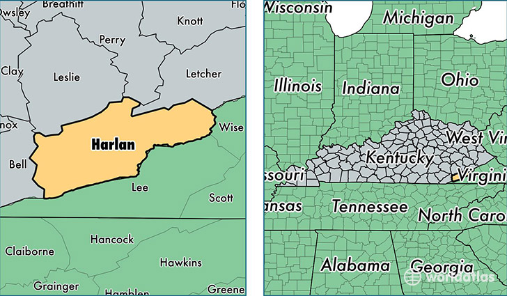
Harlan County is a county equivalent area found in Kentucky, USA. The county government of Harlan is found in the county seat of Harlan.
With a total 1,212.5 sq. km of land and water area, Harlan County, Kentucky is the 2290th largest county equivalent area in the United States. Home to 28,163 people, Harlan County has a total 13389 households earning 25906 on average per year.
Harlan County, Kentucky - Quick Facts
| FIPS Code | 21095 |
| Area Codes | 606 |
| Time Zone | EST |
| Major Cities | Harlan (population: 5,020), Cumberland (population: 4,124), Evarts (population: 3,865), Baxter (population: 2,436), Wallins Creek (population: 2,330), Bledsoe (population: 1,512), Cawood (population: 1,495), Loyall (population: 1,182), Lynch (population: 838), Coldiron (population: 710) |
| Land Area | 10,874 sq miles |
| Water Area | 466 sq miles |
| Household Income | $25,906 |
| Housing Units | 13,389 |
| Median Home Value | $52,000 |
| High School Grads | 71% of population |
| Holders of Bachelors Degrees | 11% of population |
| Retail Spending | $6,793 per capita |
| Food & Accomodation Sales | $20,320 per capita |
| Universities and Colleges | Jenny Lea Academy of Cosmetology |
This page was last updated on June 30, 2016.