Where is Clay County, Kentucky?
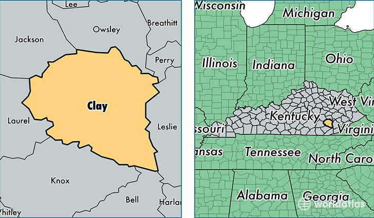
Clay County is a county equivalent area found in Kentucky, USA. The county government of Clay is found in the county seat of Manchester.
With a total 1,220.11 sq. km of land and water area, Clay County, Kentucky is the 2277th largest county equivalent area in the United States. Home to 21,147 people, Clay County has a total 8795 households earning 21883 on average per year.
Clay County, Kentucky - Quick Facts
| FIPS Code | 21051 |
| Area Codes | 606 |
| Time Zone | EST |
| Major Cities | Manchester (population: 18,990), Oneida (population: 1,316), Big Creek (population: 463), Sextons Creek (population: 349), Garrard (population: 248) |
| Land Area | 8,165 sq miles |
| Water Area | 469 sq miles |
| Household Income | $21,883 |
| Housing Units | 8,795 |
| Median Home Value | $57,800 |
| High School Grads | 64% of population |
| Holders of Bachelors Degrees | 9% of population |
| Retail Spending | $5,858 per capita |
| Food & Accomodation Sales | $12,401 per capita |
| Universities and Colleges | Southeast School of Cosmetology |
This page was last updated on June 30, 2016.