Where is Leslie County, Kentucky?
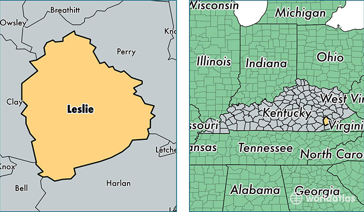
Leslie County is a county equivalent area found in Kentucky, USA. The county government of Leslie is found in the county seat of Hyden.
With a total 1,047.54 sq. km of land and water area, Leslie County, Kentucky is the 2580th largest county equivalent area in the United States. Home to 10,918 people, Leslie County has a total 5228 households earning 29293 on average per year.
Leslie County, Kentucky - Quick Facts
| FIPS Code | 21131 |
| Area Codes | 606 |
| Time Zone | EST |
| Major Cities | Hyden (population: 3,511), Wooton (population: 1,490), Stinnett (population: 1,086), Yeaddiss (population: 935), Smilax (population: 731), Essie (population: 665), Warbranch (population: 497), Bear Branch (population: 412), Mozelle (population: 392), Helton (population: 307) |
| Land Area | 4,215 sq miles |
| Water Area | 401 sq miles |
| Household Income | $29,293 |
| Housing Units | 5,228 |
| Median Home Value | $44,700 |
| High School Grads | 63% of population |
| Holders of Bachelors Degrees | 7% of population |
| Retail Spending | $5,072 per capita |
| Food & Accomodation Sales | $3,874 per capita |
| Universities and Colleges | Frontier School of Midwifery and Family Nursing |
This page was last updated on June 30, 2016.