Where is Lee County, Virginia?
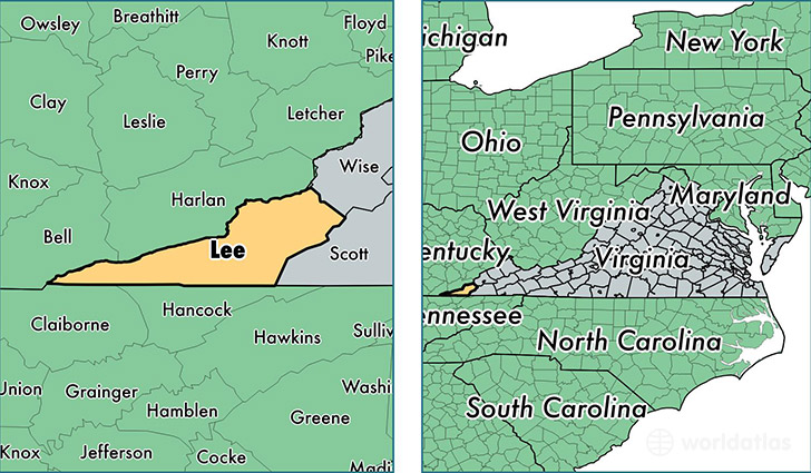
Lee County is a county equivalent area found in Virginia, USA. The county government of Lee is found in the county seat of Jonesville.
With a total 1,132.88 sq. km of land and water area, Lee County, Virginia is the 2398th largest county equivalent area in the United States. Home to 24,951 people, Lee County has a total 11654 households earning 31308 on average per year.
Lee County, Virginia - Quick Facts
| FIPS Code | 51105 |
| Area Codes | 276 |
| Time Zone | EST |
| Major Cities | Jonesville (population: 7,914), Pennington Gap (population: 5,823), Ewing (population: 2,584), Rose Hill (population: 2,476), Dryden (population: 2,212), Keokee (population: 925), Saint Charles (population: 723), Ben Hur (population: 88) |
| Land Area | 9,634 sq miles |
| Water Area | 436 sq miles |
| Household Income | $31,308 |
| Housing Units | 11,654 |
| Median Home Value | $74,300 |
| High School Grads | 74% of population |
| Holders of Bachelors Degrees | 12% of population |
| Retail Spending | $6,868 per capita |
| Food & Accomodation Sales | $8,570 per capita |
This page was last updated on June 30, 2016.