Where is Jackson County, Kansas?
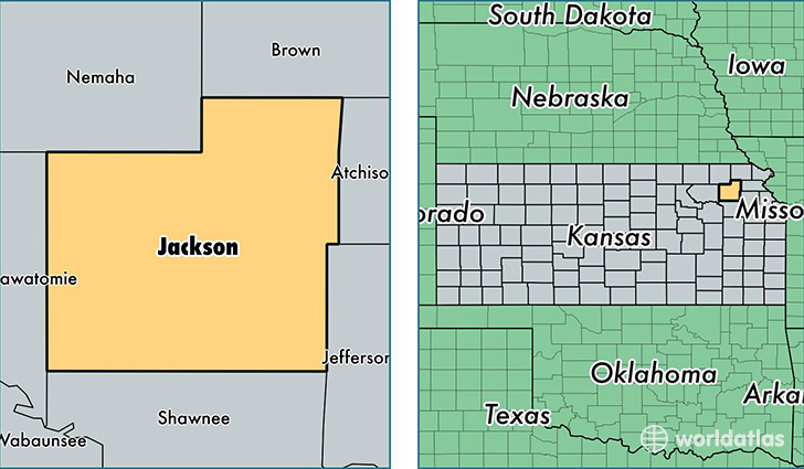
Jackson County is a county equivalent area found in Kansas, USA. The county government of Jackson is found in the county seat of Holton.
With a total 1,704.27 sq. km of land and water area, Jackson County, Kansas is the 1545th largest county equivalent area in the United States. Home to 13,539 people, Jackson County has a total 5768 households earning 54546 on average per year.
Jackson County, Kansas - Quick Facts
| FIPS Code | 20085 |
| Area Codes | 785 |
| Time Zone | CST |
| Major Cities | Holton (population: 5,872), Mayetta (population: 2,593), Hoyt (population: 2,061), Delia (population: 706), Soldier (population: 539), Circleville (population: 488), Denison (population: 441), Whiting (population: 395), Muscotah (population: 390), Netawaka (population: 376) |
| Land Area | 5,227 sq miles |
| Water Area | 656 sq miles |
| Household Income | $54,546 |
| Housing Units | 5,768 |
| Median Home Value | $118,200 |
| High School Grads | 94% of population |
| Holders of Bachelors Degrees | 18% of population |
| Retail Spending | $6,822 per capita |
This page was last updated on June 30, 2016.