Where is Shawnee County, Kansas?
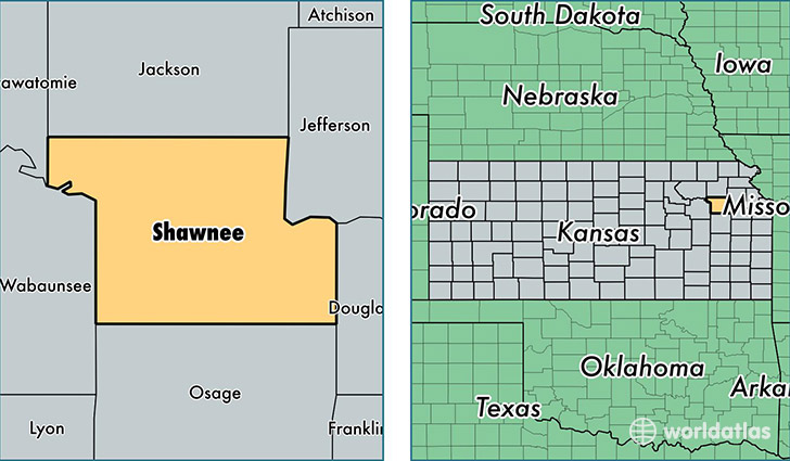
Shawnee County is a county equivalent area found in Kansas, USA. The county government of Shawnee is found in the county seat of Topeka.
With a total 1,439.33 sq. km of land and water area, Shawnee County, Kansas is the 1988th largest county equivalent area in the United States. Home to 178,406 people, Shawnee County has a total 79223 households earning 48451 on average per year.
Shawnee County, Kansas offers the following attraction to visitors: Brown v. Board of Education NHS
Shawnee County, Kansas - Quick Facts
| FIPS Code | 20177 |
| Area Codes | 785 |
| Time Zone | CST |
| Major Cities | Topeka (population: 164,367), Tecumseh (population: 3,354), Berryton (population: 3,016), Auburn (population: 2,972), Silver Lake (population: 2,822), Rossville (population: 1,842), Wakarusa (population: 1,017) |
| Land Area | 68,883 sq miles |
| Water Area | 544 sq miles |
| Household Income | $48,451 |
| Housing Units | 79,223 |
| Median Home Value | $120,300 |
| High School Grads | 90% of population |
| Holders of Bachelors Degrees | 29% of population |
| Retail Spending | $13,295 per capita |
This page was last updated on June 30, 2016.