Where is Atchison County, Kansas?
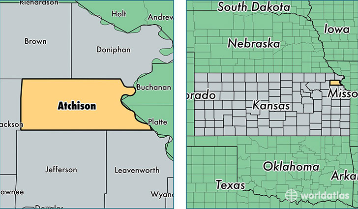
Atchison County is a county equivalent area found in Kansas, USA. The county government of Atchison is found in the county seat of Atchison.
With a total 1,123.59 sq. km of land and water area, Atchison County, Kansas is the 2426th largest county equivalent area in the United States. Home to 16,513 people, Atchison County has a total 6930 households earning 45212 on average per year.
Atchison County, Kansas - Quick Facts
| FIPS Code | 20005 |
| Area Codes | 913 |
| Time Zone | CST |
| Major Cities | Atchison (population: 13,667), Effingham (population: 1,116), Lancaster (population: 720), Cummings (population: 515) |
| Land Area | 6,376 sq miles |
| Water Area | 431 sq miles |
| Household Income | $45,212 |
| Housing Units | 6,930 |
| Median Home Value | $87,000 |
| High School Grads | 92% of population |
| Holders of Bachelors Degrees | 22% of population |
| Retail Spending | $7,912 per capita |
| Food & Accomodation Sales | $14,931 per capita |
This page was last updated on June 30, 2016.