Where is Pottawatomie County, Kansas?
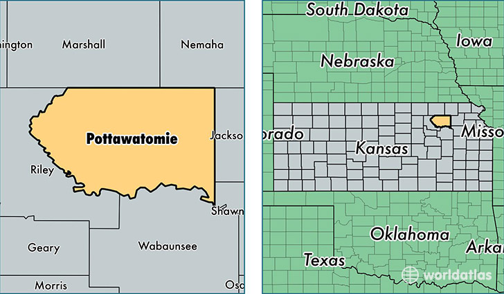
Pottawatomie County is a county equivalent area found in Kansas, USA. The county government of Pottawatomie is found in the county seat of Westmoreland.
With a total 2,232.33 sq. km of land and water area, Pottawatomie County, Kansas is the 1062nd largest county equivalent area in the United States. Home to 22,897 people, Pottawatomie County has a total 8860 households earning 56854 on average per year.
Pottawatomie County, Kansas - Quick Facts
| FIPS Code | 20149 |
| Area Codes | 785 |
| Time Zone | CST |
| Major Cities | Wamego (population: 7,850), Saint Marys (population: 4,043), Saint George (population: 2,700), Westmoreland (population: 1,699), Onaga (population: 1,579), Olsburg (population: 595), Emmett (population: 499), Belvue (population: 489), Havensville (population: 407) |
| Land Area | 8,841 sq miles |
| Water Area | 841 sq miles |
| Household Income | $56,854 |
| Housing Units | 8,860 |
| Median Home Value | $153,700 |
| High School Grads | 95% of population |
| Holders of Bachelors Degrees | 29% of population |
| Retail Spending | $14,582 per capita |
| Food & Accomodation Sales | $11,780 per capita |
This page was last updated on June 30, 2016.