Where is Nemaha County, Kansas?
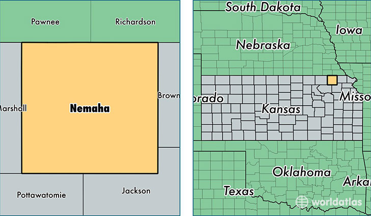
Nemaha County is a county equivalent area found in Kansas, USA. The county government of Nemaha is found in the county seat of Seneca.
With a total 1,863.33 sq. km of land and water area, Nemaha County, Kansas is the 1371st largest county equivalent area in the United States. Home to 10,148 people, Nemaha County has a total 4554 households earning 47122 on average per year.
Nemaha County, Kansas - Quick Facts
| FIPS Code | 20131 |
| Area Codes | 785 |
| Time Zone | CST |
| Major Cities | Sabetha (population: 3,707), Seneca (population: 3,249), Centralia (population: 881), Wetmore (population: 604), Baileyville (population: 527), Bern (population: 432), Goff (population: 413), Corning (population: 308), Oneida (population: 48) |
| Land Area | 3,918 sq miles |
| Water Area | 717 sq miles |
| Household Income | $47,122 |
| Housing Units | 4,554 |
| Median Home Value | $95,200 |
| High School Grads | 90% of population |
| Holders of Bachelors Degrees | 20% of population |
| Retail Spending | $10,528 per capita |
| Food & Accomodation Sales | $4,229 per capita |
This page was last updated on June 30, 2016.