Where is Pulaski County, Illinois?
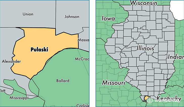
Pulaski County is a county equivalent area found in Illinois, USA. The county government of Pulaski is found in the county seat of Mound City.
With a total 526.36 sq. km of land and water area, Pulaski County, Illinois is the 3016th largest county equivalent area in the United States. Home to 5,815 people, Pulaski County has a total 3114 households earning 33717 on average per year.
Pulaski County, Illinois - Quick Facts
| FIPS Code | 17153 |
| Area Codes | 618 |
| Time Zone | CST |
| Major Cities | Mounds (population: 1,417), Ullin (population: 1,003), Karnak (population: 849), Grand Chain (population: 789), Olmsted (population: 622), Mound City (population: 594), Villa Ridge (population: 520), Pulaski (population: 456) |
| Land Area | 2,245 sq miles |
| Water Area | 199 sq miles |
| Household Income | $33,717 |
| Housing Units | 3,114 |
| Median Home Value | $55,300 |
| High School Grads | 80% of population |
| Holders of Bachelors Degrees | 12% of population |
| Retail Spending | $4,941 per capita |
This page was last updated on June 30, 2016.