Where is Ballard County, Kentucky?
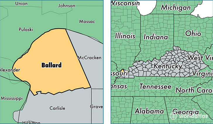
Ballard County is a county equivalent area found in Kentucky, USA. The county government of Ballard is found in the county seat of Wickliffe.
With a total 708.85 sq. km of land and water area, Ballard County, Kentucky is the 2899th largest county equivalent area in the United States. Home to 8,240 people, Ballard County has a total 3859 households earning 44588 on average per year.
Ballard County, Kentucky - Quick Facts
| FIPS Code | 21007 |
| Area Codes | 270 |
| Time Zone | CST |
| Major Cities | Wickliffe (population: 2,443), La Center (population: 2,002), Barlow (population: 1,505), Lovelaceville (population: 131), Bandana (population: 105) |
| Land Area | 3,181 sq miles |
| Water Area | 247 sq miles |
| Household Income | $44,588 |
| Housing Units | 3,859 |
| Median Home Value | $94,400 |
| High School Grads | 84% of population |
| Holders of Bachelors Degrees | 13% of population |
| Retail Spending | $6,485 per capita |
| Food & Accomodation Sales | $1,841 per capita |
This page was last updated on June 30, 2016.