Where is Webster County, Iowa?
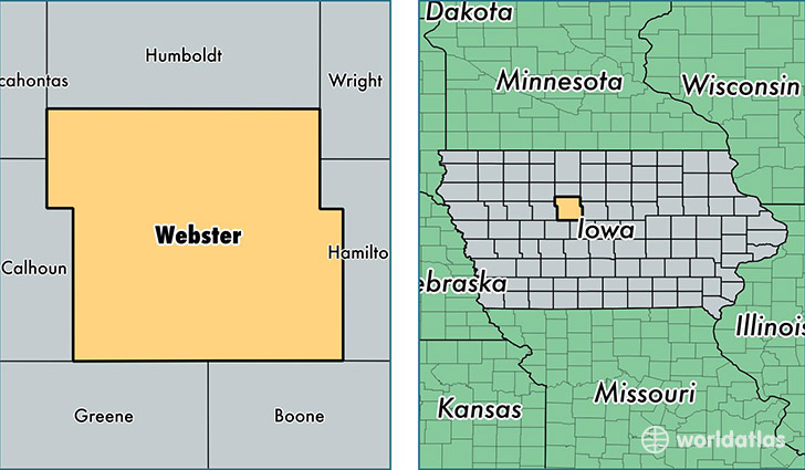
Webster County is a county equivalent area found in Iowa, USA. The county government of Webster is found in the county seat of Fort Dodge.
With a total 1,860.72 sq. km of land and water area, Webster County, Iowa is the 1379th largest county equivalent area in the United States. Home to 36,955 people, Webster County has a total 16984 households earning 41624 on average per year.
Webster County, Iowa - Quick Facts
| FIPS Code | 19187 |
| Area Codes | 515 |
| Time Zone | CST |
| Major Cities | Fort Dodge (population: 28,511), Gowrie (population: 1,462), Dayton (population: 1,181), Duncombe (population: 855), Otho (population: 819), Lehigh (population: 735), Badger (population: 705), Callender (population: 592), Clare (population: 510), Harcourt (population: 504) |
| Land Area | 14,268 sq miles |
| Water Area | 715 sq miles |
| Household Income | $41,624 |
| Housing Units | 16,984 |
| Median Home Value | $84,300 |
| High School Grads | 89% of population |
| Holders of Bachelors Degrees | 19% of population |
| Retail Spending | $15,022 per capita |
| Food & Accomodation Sales | $61,910 per capita |
| Universities and Colleges | Iowa Central Community College |
This page was last updated on June 30, 2016.