Where is Hamilton County, Iowa?
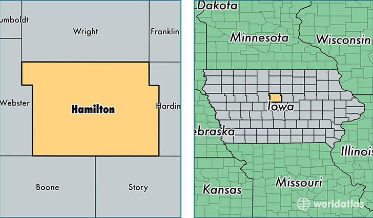
Hamilton County is a county equivalent area found in Iowa, USA. The county government of Hamilton is found in the county seat of Webster City.
With a total 1,495.74 sq. km of land and water area, Hamilton County, Iowa is the 1849th largest county equivalent area in the United States. Home to 15,117 people, Hamilton County has a total 7159 households earning 43589 on average per year.
Hamilton County, Iowa - Quick Facts
| FIPS Code | 19079 |
| Area Codes | 515 |
| Time Zone | CST |
| Major Cities | Webster City (population: 8,972), Jewell (population: 1,613), Stratford (population: 1,305), Ellsworth (population: 843), Stanhope (population: 719), Williams (population: 614), Blairsburg (population: 479), Kamrar (population: 359), Randall (population: 169) |
| Land Area | 5,837 sq miles |
| Water Area | 577 sq miles |
| Household Income | $43,589 |
| Housing Units | 7,159 |
| Median Home Value | $91,400 |
| High School Grads | 90% of population |
| Holders of Bachelors Degrees | 18% of population |
| Retail Spending | $9,607 per capita |
| Food & Accomodation Sales | $12,245 per capita |
This page was last updated on June 30, 2016.