Where is Humboldt County, Iowa?
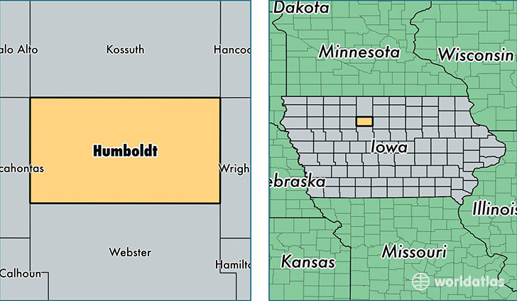
Humboldt County is a county equivalent area found in Iowa, USA. The county government of Humboldt is found in the county seat of Dakota City.
With a total 1,128.37 sq. km of land and water area, Humboldt County, Iowa is the 2412th largest county equivalent area in the United States. Home to 9,640 people, Humboldt County has a total 4661 households earning 47897 on average per year.
Humboldt County, Iowa - Quick Facts
| FIPS Code | 19091 |
| Area Codes | 515 |
| Time Zone | CST |
| Major Cities | Humboldt (population: 5,816), Gilmore City (population: 859), Dakota City (population: 829), Bode (population: 617), Livermore (population: 612), Renwick (population: 405), Thor (population: 317), Ottosen (population: 245), Rutland (population: 231), Hardy (population: 203) |
| Land Area | 3,722 sq miles |
| Water Area | 434 sq miles |
| Household Income | $47,897 |
| Housing Units | 4,661 |
| Median Home Value | $84,900 |
| High School Grads | 91% of population |
| Holders of Bachelors Degrees | 18% of population |
| Retail Spending | $8,520 per capita |
| Food & Accomodation Sales | $7,477 per capita |
This page was last updated on June 30, 2016.