Pocahontas County, IA, USA
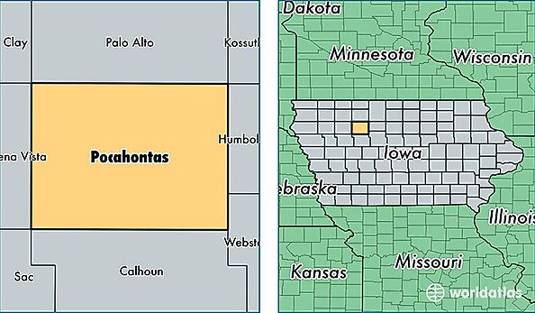
Pocahontas County is a county equivalent area found in Iowa, USA. The county government of Pocahontas is found in the county seat of Pocahontas.
With a total 1,498.71 sq. km of land and water area, Pocahontas County, Iowa is the 1841st largest county equivalent area in the United States. Home to 7,138 people, Pocahontas County has a total 3767 households earning 44073 on average per year.
Pocahontas County, Iowa - Quick Facts
| FIPS Code | 19151 |
| Area Codes | 712 |
| Time Zone | CST |
| Major Cities | Pocahontas (population: 2,133), Laurens (population: 1,589), Fonda (population: 1,004), Rolfe (population: 974), Palmer (population: 385), Havelock (population: 338), Plover (population: 66), Varina (population: 62) |
| Land Area | 2,756 sq miles |
| Water Area | 577 sq miles |
| Household Income | $44,073 |
| Housing Units | 3,767 |
| Median Home Value | $60,600 |
| High School Grads | 93% of population |
| Holders of Bachelors Degrees | 18% of population |
| Retail Spending | $10,492 per capita |