Where is Greene County, Iowa?
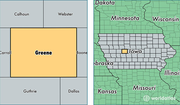
Greene County is a county equivalent area found in Iowa, USA. The county government of Greene is found in the county seat of Jefferson.
With a total 1,479.44 sq. km of land and water area, Greene County, Iowa is the 1918th largest county equivalent area in the United States. Home to 9,200 people, Greene County has a total 4521 households earning 45865 on average per year.
Greene County, Iowa - Quick Facts
| FIPS Code | 19073 |
| Area Codes | 515,712 |
| Time Zone | CST |
| Major Cities | Jefferson (population: 5,125), Grand Junction (population: 1,077), Scranton (population: 993), Churdan (population: 696), Paton (population: 620), Rippey (population: 475), Dana (population: 123), Cooper (population: 13) |
| Land Area | 3,552 sq miles |
| Water Area | 570 sq miles |
| Household Income | $45,865 |
| Housing Units | 4,521 |
| Median Home Value | $78,200 |
| High School Grads | 89% of population |
| Holders of Bachelors Degrees | 17% of population |
| Retail Spending | $9,258 per capita |
| Food & Accomodation Sales | $3,859 per capita |
This page was last updated on June 30, 2016.