Where is Wright County, Iowa?
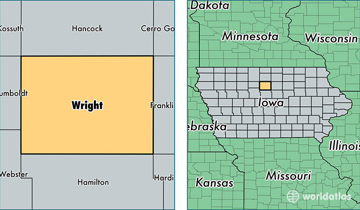
Wright County is a county equivalent area found in Iowa, USA. The county government of Wright is found in the county seat of Clarion.
With a total 1,507.99 sq. km of land and water area, Wright County, Iowa is the 1818th largest county equivalent area in the United States. Home to 12,840 people, Wright County has a total 6485 households earning 45205 on average per year.
Wright County, Iowa - Quick Facts
| FIPS Code | 19197 |
| Area Codes | 515,641 |
| Time Zone | CST |
| Major Cities | Eagle Grove (population: 4,056), Clarion (population: 3,518), Belmond (population: 2,977), Dows (population: 990), Goldfield (population: 917), Woolstock (population: 373), Rowan (population: 270), Galt (population: 64) |
| Land Area | 4,958 sq miles |
| Water Area | 580 sq miles |
| Household Income | $45,205 |
| Housing Units | 6,485 |
| Median Home Value | $71,700 |
| High School Grads | 89% of population |
| Holders of Bachelors Degrees | 16% of population |
| Retail Spending | $7,681 per capita |
| Food & Accomodation Sales | $7,591 per capita |
This page was last updated on June 30, 2016.