Where is Taliaferro County, Georgia?
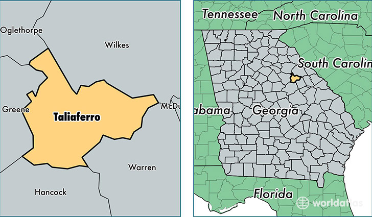
Taliaferro County is a county equivalent area found in Georgia, USA. The county government of Taliaferro is found in the county seat of Crawfordville.
With a total 505.95 sq. km of land and water area, Taliaferro County, Georgia is the 3030th largest county equivalent area in the United States. Home to 1,693 people, Taliaferro County has a total 1002 households earning 25465 on average per year.
Taliaferro County, Georgia - Quick Facts
| FIPS Code | 13265 |
| Area Codes | 706 |
| Time Zone | EST |
| Major Cities | Crawfordville (population: 1,724), Sharon (population: 37) |
| Land Area | 654 sq miles |
| Water Area | 195 sq miles |
| Household Income | $25,465 |
| Housing Units | 1,002 |
| Median Home Value | $68,300 |
| High School Grads | 68% of population |
| Holders of Bachelors Degrees | 9% of population |
| Retail Spending | $925 per capita |
This page was last updated on June 30, 2016.