Where is New Haven County, Connecticut?
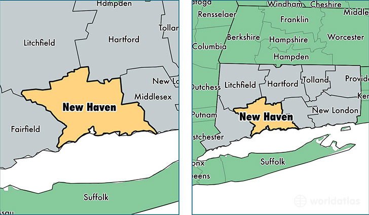
New Haven County is a county equivalent area found in Connecticut, USA. The county government of New Haven is found in the county seat of New Haven.
With a total 2,232.74 sq. km of land and water area, New Haven County, Connecticut is the 1061st largest county equivalent area in the United States. Home to 861,277 people, New Haven County has a total 361409 households earning 61996 on average per year.
New Haven County, Connecticut - Quick Facts
| FIPS Code | 9009 |
| Area Codes | 203 |
| Time Zone | EST |
| Major Cities | New Haven (population: 128,981), Waterbury (population: 110,411), Hamden (population: 60,988), Meriden (population: 60,935), West Haven (population: 55,585), Milford (population: 52,778), Wallingford (population: 45,258), Naugatuck (population: 31,987), East Haven (population: 29,872), Cheshire (population: 29,172) |
| Land Area | 332,541 sq miles |
| Water Area | 605 sq miles |
| Household Income | $61,996 |
| Housing Units | 361,409 |
| Median Home Value | $256,900 |
| High School Grads | 88% of population |
| Holders of Bachelors Degrees | 33% of population |
| Retail Spending | $13,970 per capita |
| Food & Accomodation Sales | $1,345,875 per capita |
| Universities and Colleges | University of Connecticut-Tri-Campus |
This page was last updated on June 30, 2016.