Where is Saline County, Arkansas?
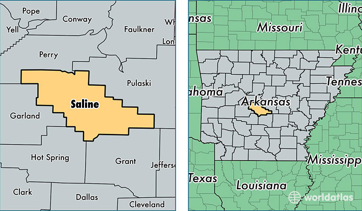
Saline County is a county equivalent area found in Arkansas, USA. The county government of Saline is found in the county seat of Benton.
With a total 1,891.96 sq. km of land and water area, Saline County, Arkansas is the 1323rd largest county equivalent area in the United States. Home to 115,719 people, Saline County has a total 46086 households earning 55348 on average per year.
Saline County, Arkansas - Quick Facts
| FIPS Code | 5125 |
| Area Codes | 501 |
| Time Zone | CST |
| Major Cities | Benton (population: 52,868), Bryant (population: 14,899), Alexander (population: 14,734), Mabelvale (population: 13,542), Hensley (population: 5,405), Bauxite (population: 4,253), Lonsdale (population: 2,113), Traskwood (population: 1,778), Paron (population: 963) |
| Land Area | 44,679 sq miles |
| Water Area | 724 sq miles |
| Household Income | $55,348 |
| Housing Units | 46,086 |
| Median Home Value | $138,600 |
| High School Grads | 89% of population |
| Holders of Bachelors Degrees | 23% of population |
| Retail Spending | $12,137 per capita |
| Food & Accomodation Sales | $81,237 per capita |
This page was last updated on June 30, 2016.