Where is Pulaski County, Arkansas?
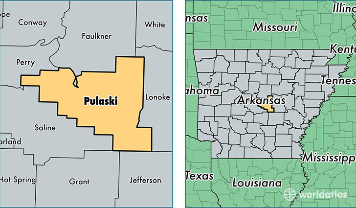
Pulaski County is a county equivalent area found in Arkansas, USA. The county government of Pulaski is found in the county seat of Little Rock.
With a total 2,091.82 sq. km of land and water area, Pulaski County, Arkansas is the 1156th largest county equivalent area in the United States. Home to 392,702 people, Pulaski County has a total 179845 households earning 46013 on average per year.
Pulaski County, Arkansas offers the following attractions to visitors: Old State House (Little Rock), Bill Clinton Library Museum, Little Rock Central High School NHS
Pulaski County, Arkansas - Quick Facts
| FIPS Code | 5119 |
| Area Codes | 501 |
| Time Zone | CST |
| Major Cities | Little Rock (population: 218,015), North Little Rock (population: 70,493), Jacksonville (population: 38,612), Sherwood (population: 32,146), Maumelle (population: 21,617), Roland (population: 2,665), Scott (population: 2,546), Wrightsville (population: 839), Little Rock AFB (population: 625), College Station (population: 352) |
| Land Area | 151,623 sq miles |
| Water Area | 759 sq miles |
| Household Income | $46,013 |
| Housing Units | 179,845 |
| Median Home Value | $140,500 |
| High School Grads | 89% of population |
| Holders of Bachelors Degrees | 31% of population |
| Retail Spending | $16,435 per capita |
| Food & Accomodation Sales | $809,950 per capita |
| Universities and Colleges | University of Arkansas at Little Rock, Arkansas Baptist College |
This page was last updated on June 30, 2016.