Where is Hot Spring County, Arkansas?
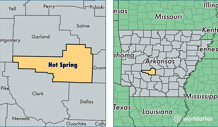
Hot Spring County is a county equivalent area found in Arkansas, USA. The county government of Hot Spring is found in the county seat of Malvern.
With a total 1,611.42 sq. km of land and water area, Hot Spring County, Arkansas is the 1661st largest county equivalent area in the United States. Home to 33,368 people, Hot Spring County has a total 14209 households earning 41193 on average per year.
Hot Spring County, Arkansas - Quick Facts
| FIPS Code | 5059 |
| Area Codes | 501 |
| Time Zone | CST |
| Major Cities | Malvern (population: 23,694), Bismarck (population: 4,551), Donaldson (population: 2,128), Bonnerdale (population: 1,624), Jones Mill (population: 89) |
| Land Area | 12,883 sq miles |
| Water Area | 615 sq miles |
| Household Income | $41,193 |
| Housing Units | 14,209 |
| Median Home Value | $81,300 |
| High School Grads | 83% of population |
| Holders of Bachelors Degrees | 12% of population |
| Retail Spending | $6,511 per capita |
| Food & Accomodation Sales | $16,843 per capita |
| Universities and Colleges | Ouachita Technical College |
This page was last updated on June 30, 2016.